
Building Resilience Along a Changing Coast
Delivering accurate, field-based data to help communities and agencies make informed decisions and build coastal resilience.
Our Mission:
To advance the understanding and protection of dynamic coastal systems through applied science.
What We Do:
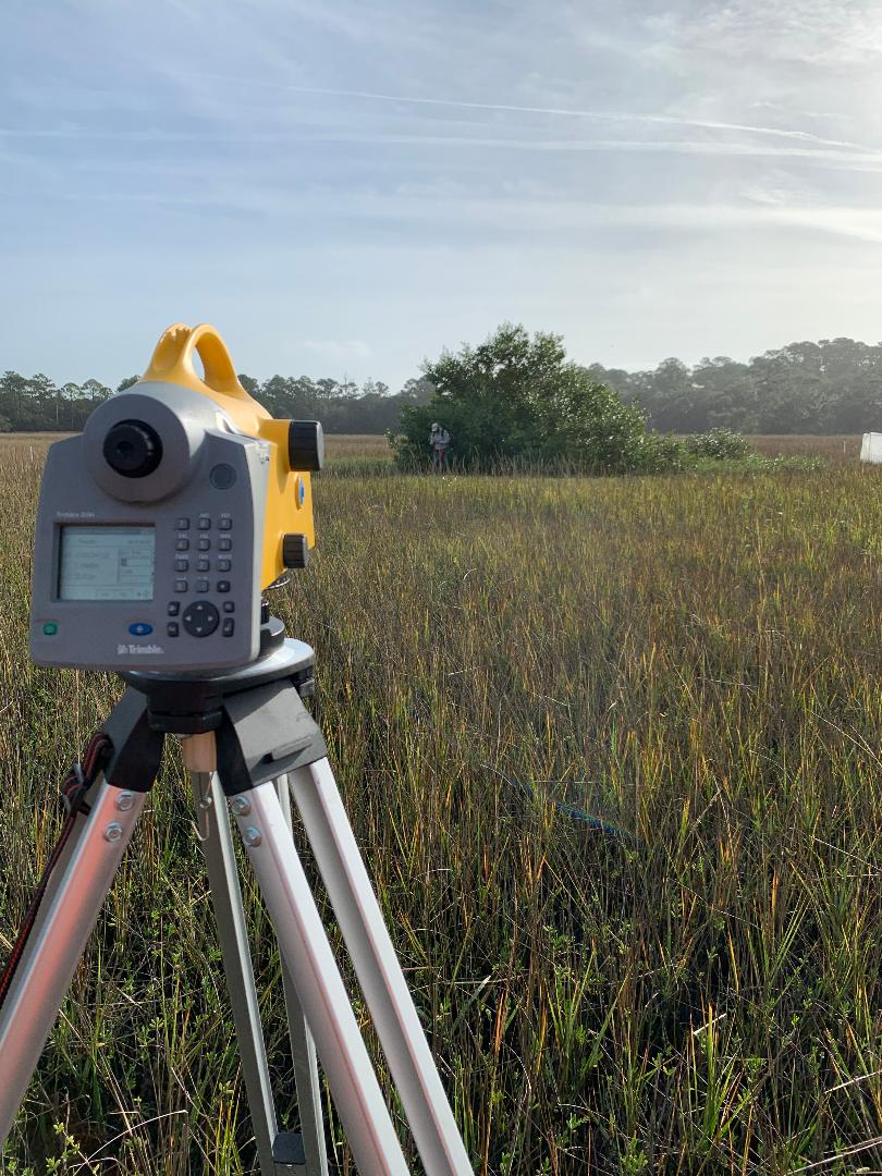
High-accuracy coastal monitoring and geospatial services for shoreline mapping, marsh elevation, and data-driven coastal management.
Services
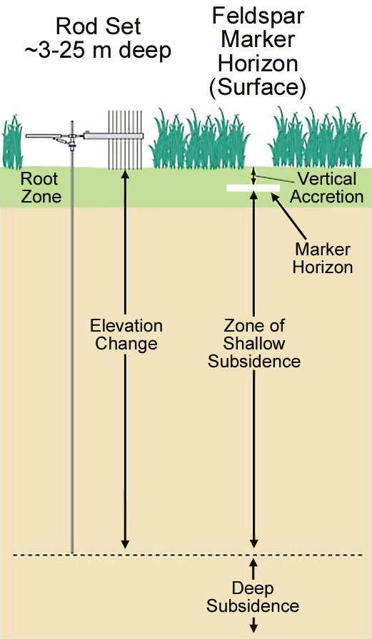
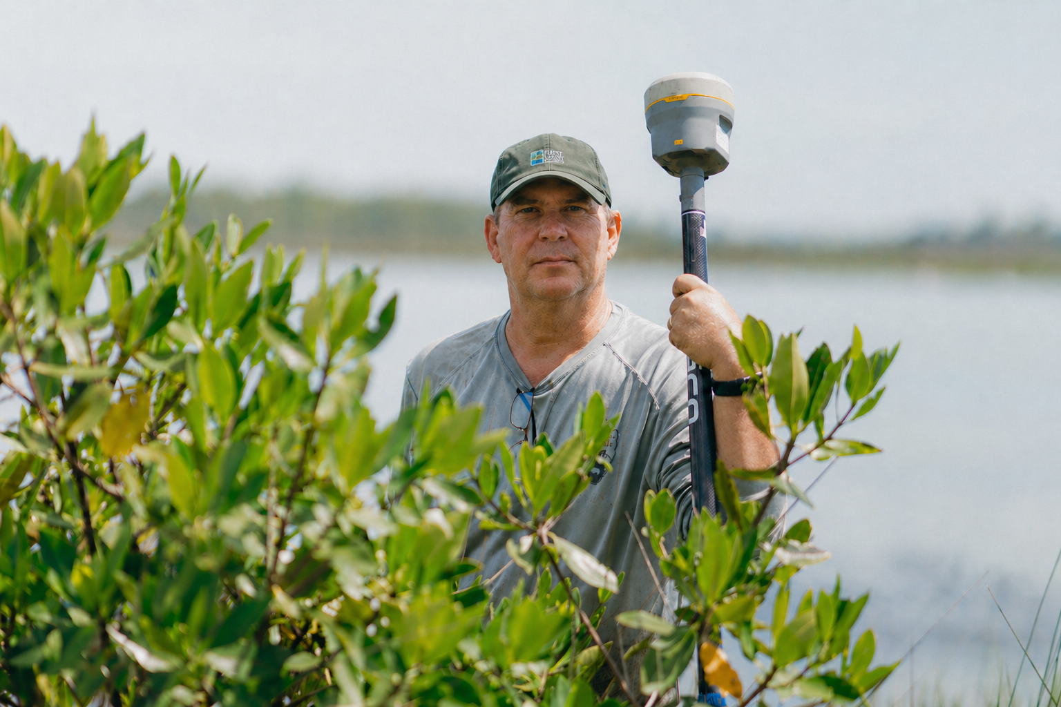
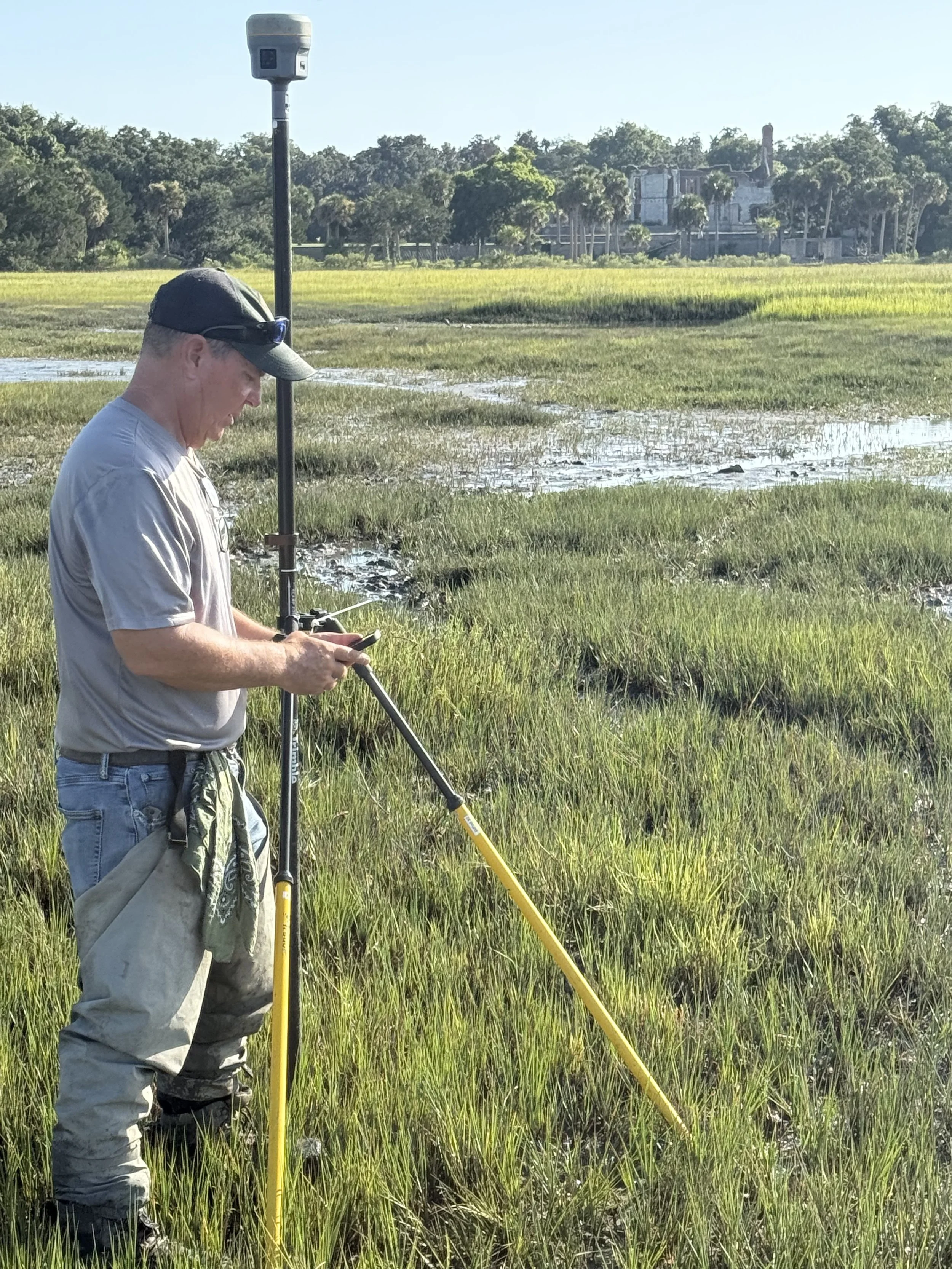
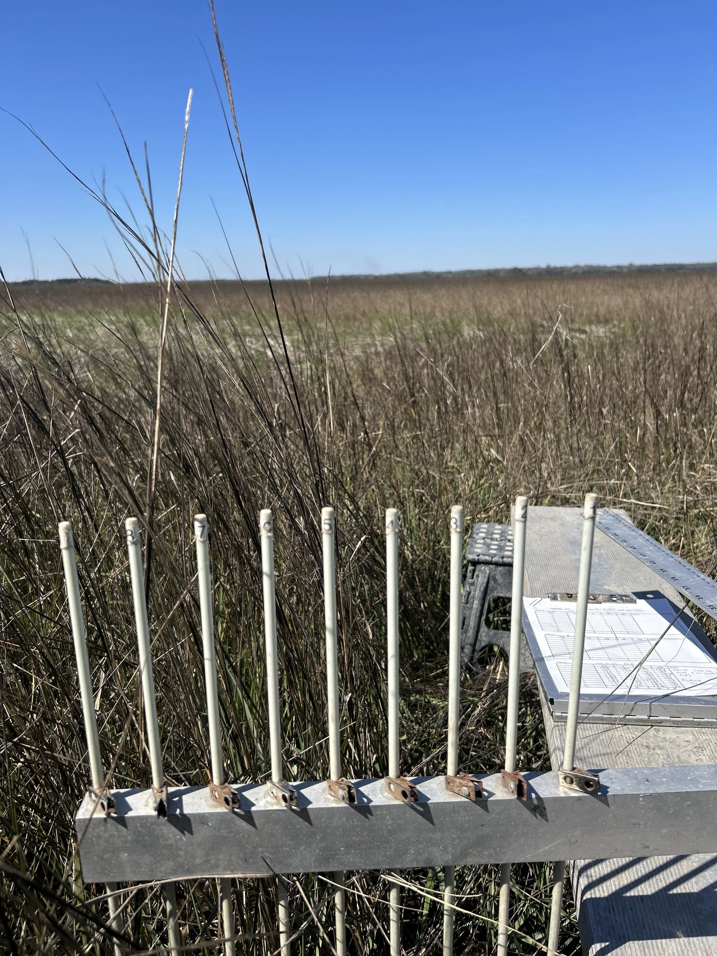
Surface Elevation Table (SET)
High-precision measurements to track vulnerability to sea-level rise
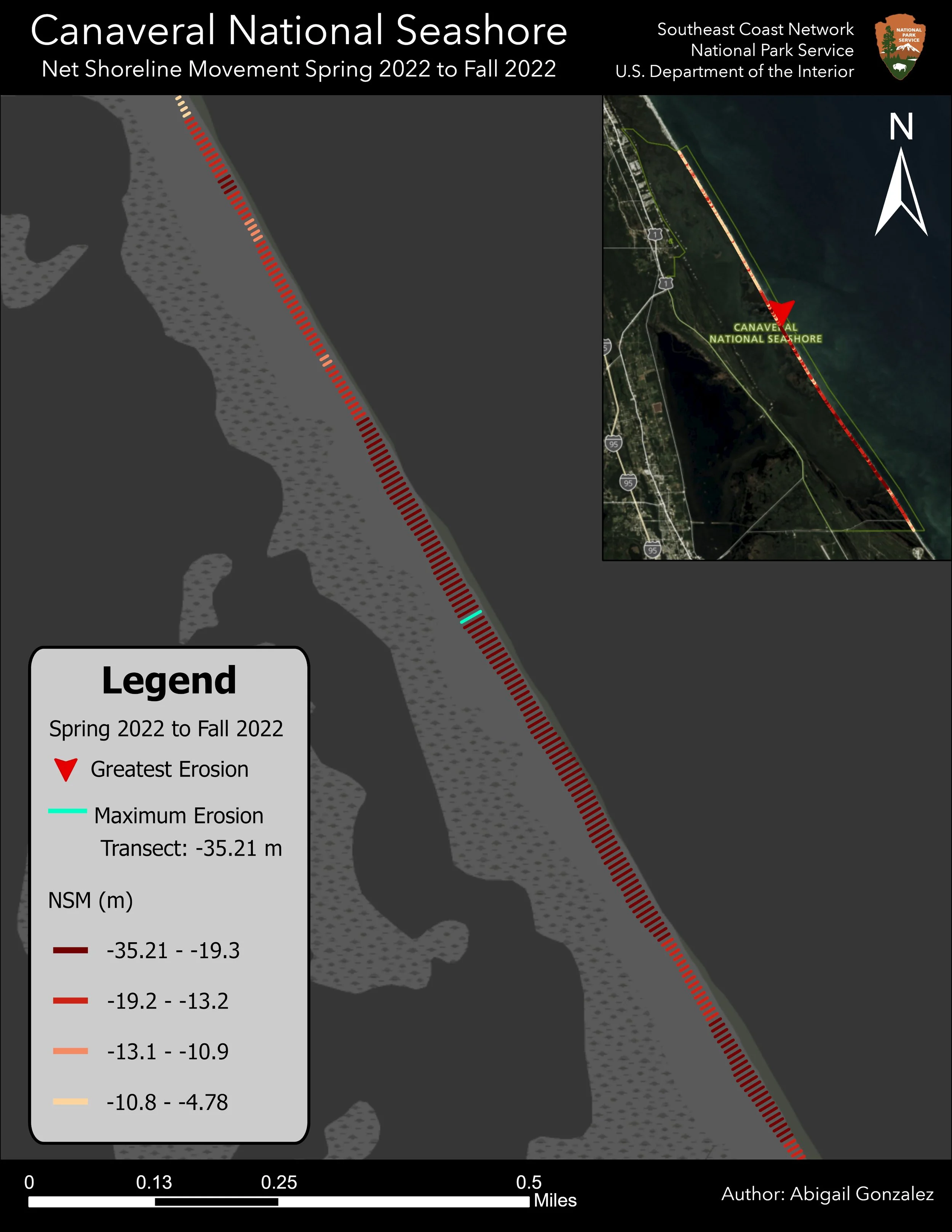
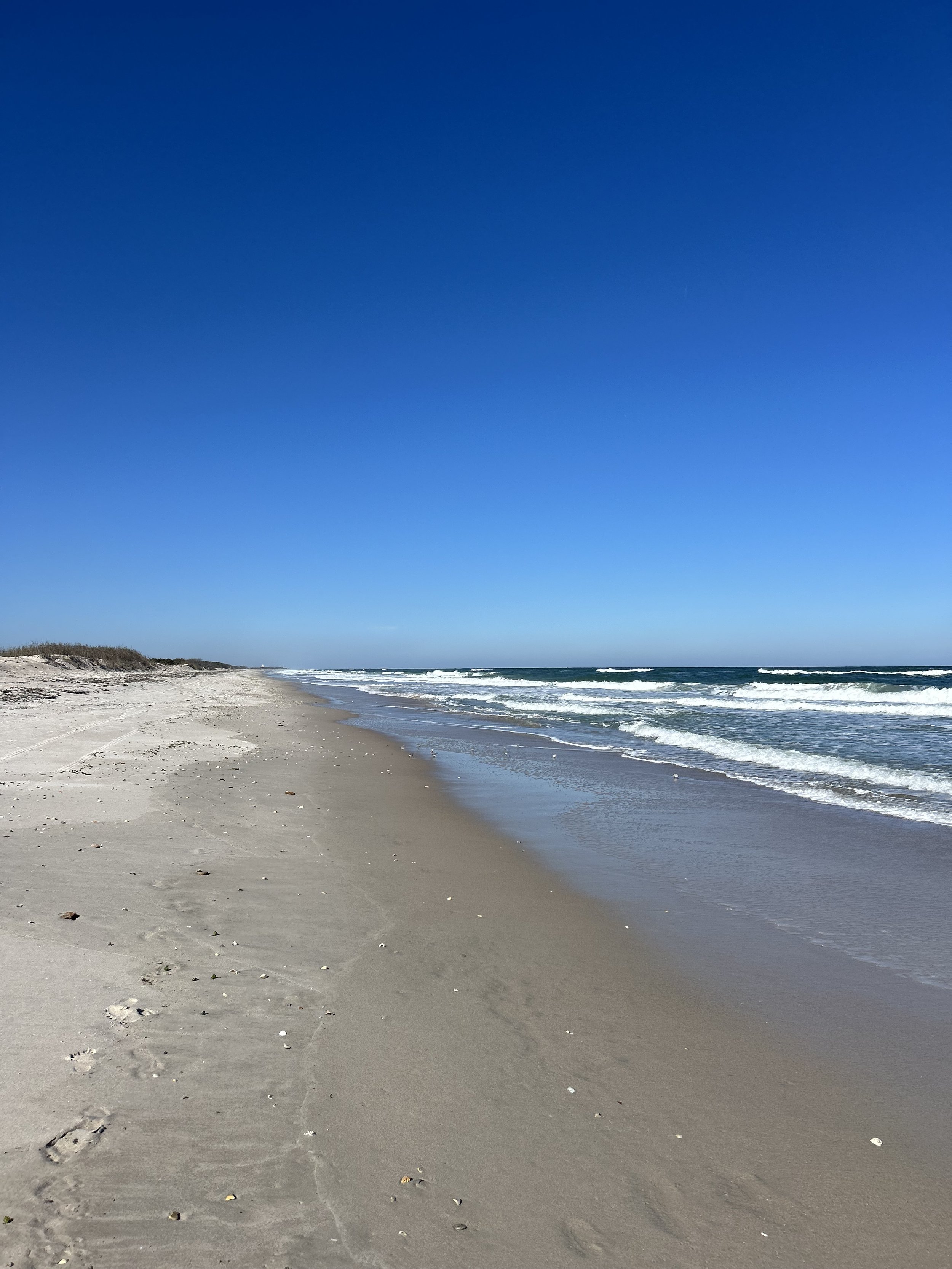
Shoreline Change
Tracking and projecting changes in shorelines

Precision Mapping
High-accuracy GNSS and GIS mapping for coastal and wetland environments