
Services
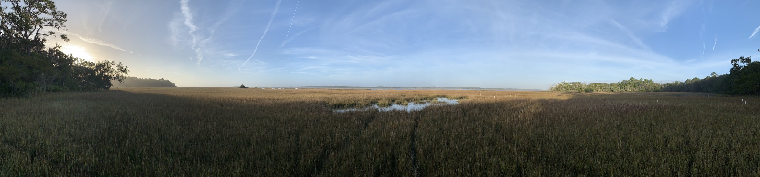
Field-based coastal monitoring and geospatial services for agencies, engineering firms, and restoration programs.
1. SET & RSET Monitoring
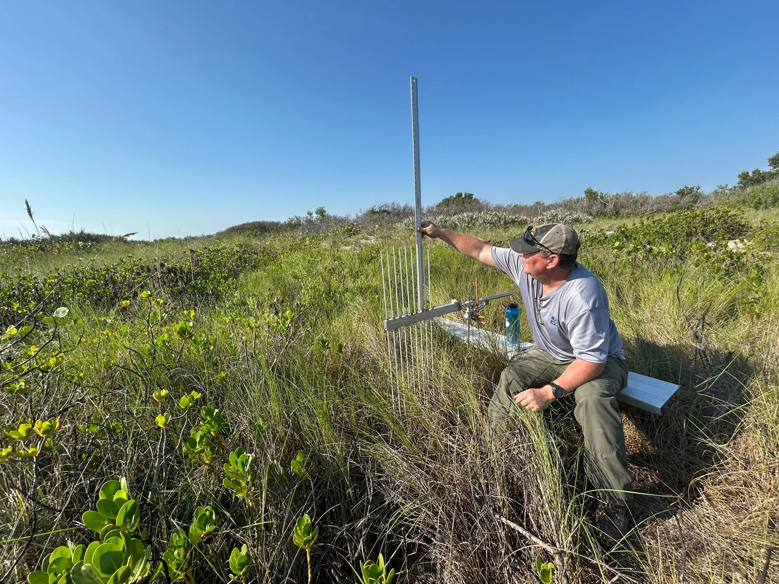
Installation, reading, and long-term operation of Surface Elevation Table (SET) and rod SET stations tracking marsh and mangrove surface-elevation change. Methods follow two decades of USGS and National Park Service practice: feldspar marker horizons, repeated pin readings, and documented QA. Deliverables: elevation-change time series, quality-reviewed datasets, technical summaries.
2. GNSS Control & Positioning for Science
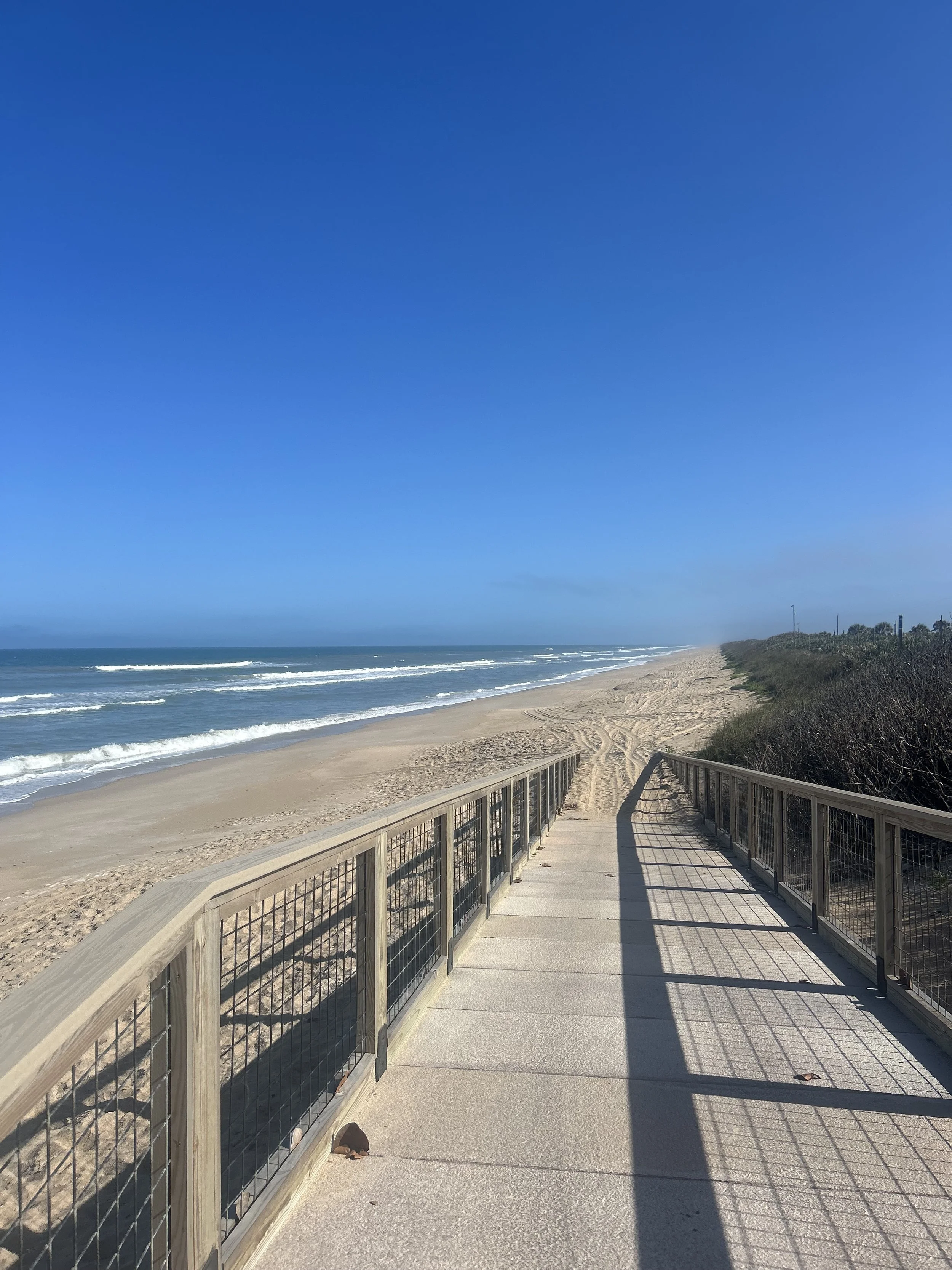
High-accuracy GNSS observations supporting monitoring networks: station coordinates, elevations, and control verification using dual-occupation methods and rigorous quality review. Deliverables: coordinates and elevations with complete metadata, site-control records, GIS-ready data packages.
3. Shoreline & Beach Profiling
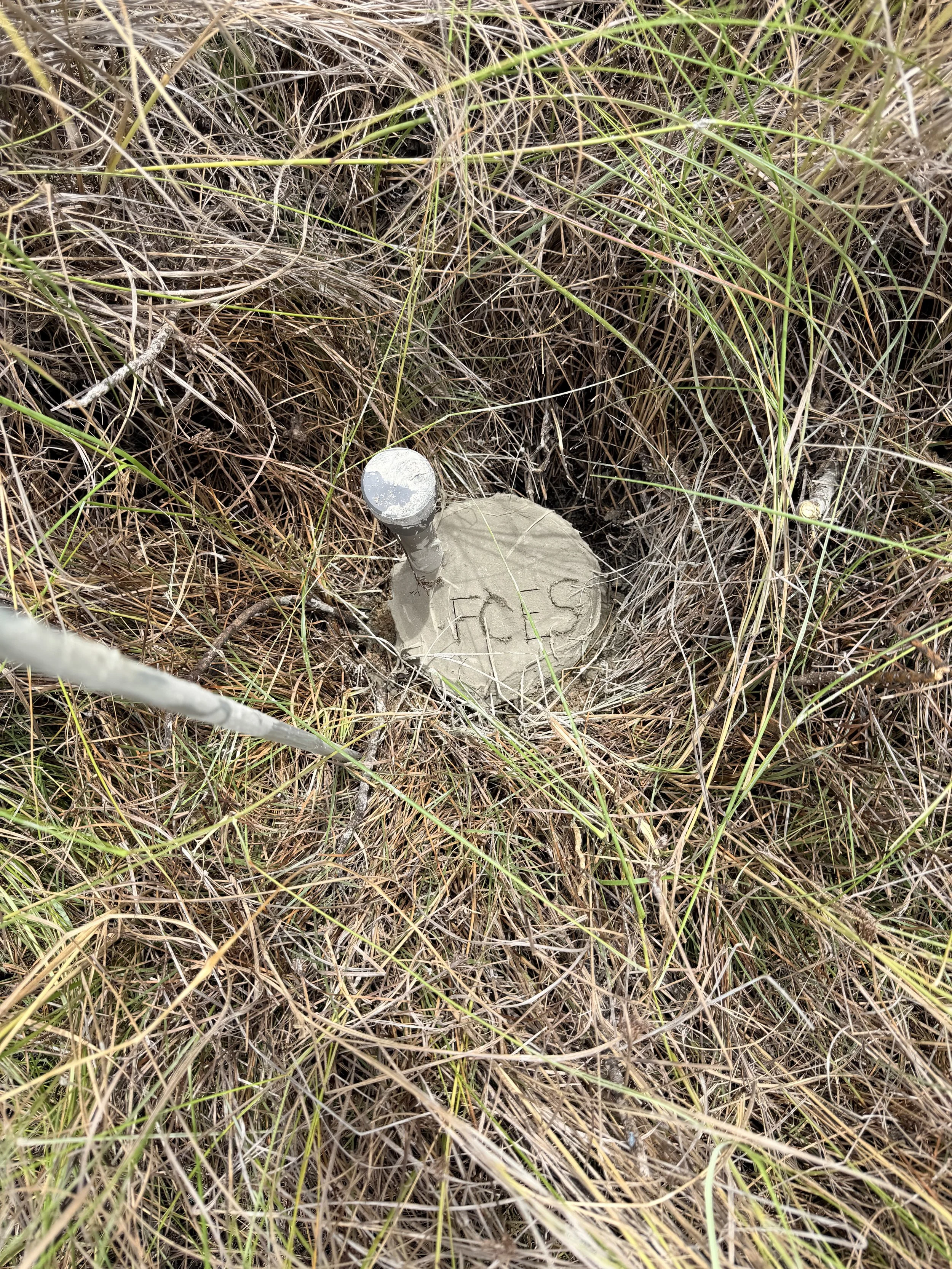
Repeated beach and shoreline profile surveys and shoreline-change mapping from field surveys and imagery analysis. Deliverables: profile plots, shoreline-change maps, erosion and accretion summaries — the same methods behind our published 2022 Canaveral and Fort Matanzas shoreline reports.
4. GIS, Data Management & Metadata
GIS-ready datasets, standards-compliant metadata, and map products built for long-term monitoring programs. Deliverables: geodatabases, metadata records, publication-quality maps.
5. Sea-Level Rise Vulnerability Assessment
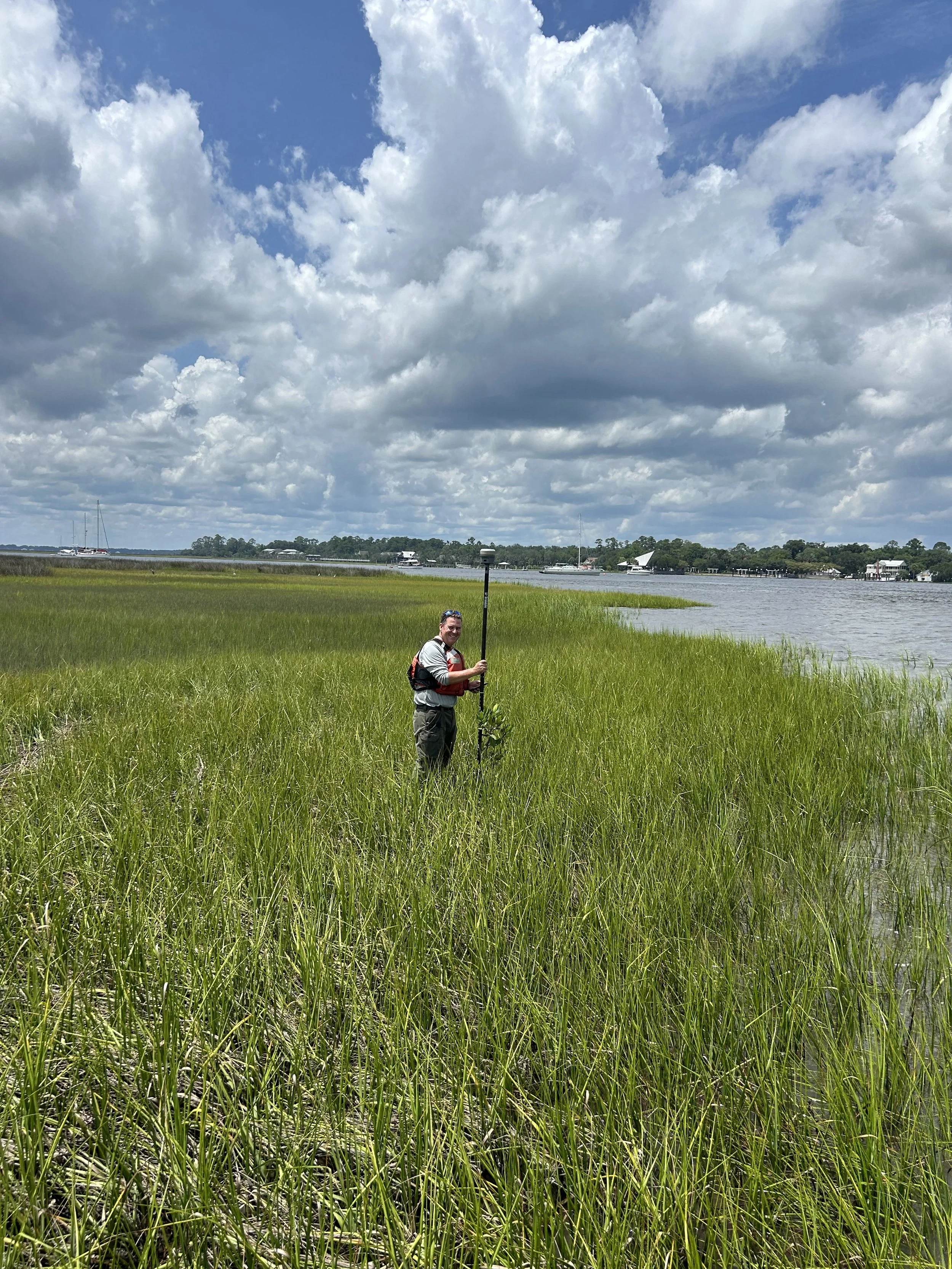
Elevation-based vulnerability analysis for tidal wetlands and coastal habitats, translating monitoring records into management-ready findings.
Available as a subcontractor for monitoring scopes on engineering, dredging, and restoration projects. Contact us to discuss your program.